
Entertain the children for hours at Farm Road Recreation Ground’s adventure playground, all the usuals plus a zip wire!
Molesey Heath, Molesey

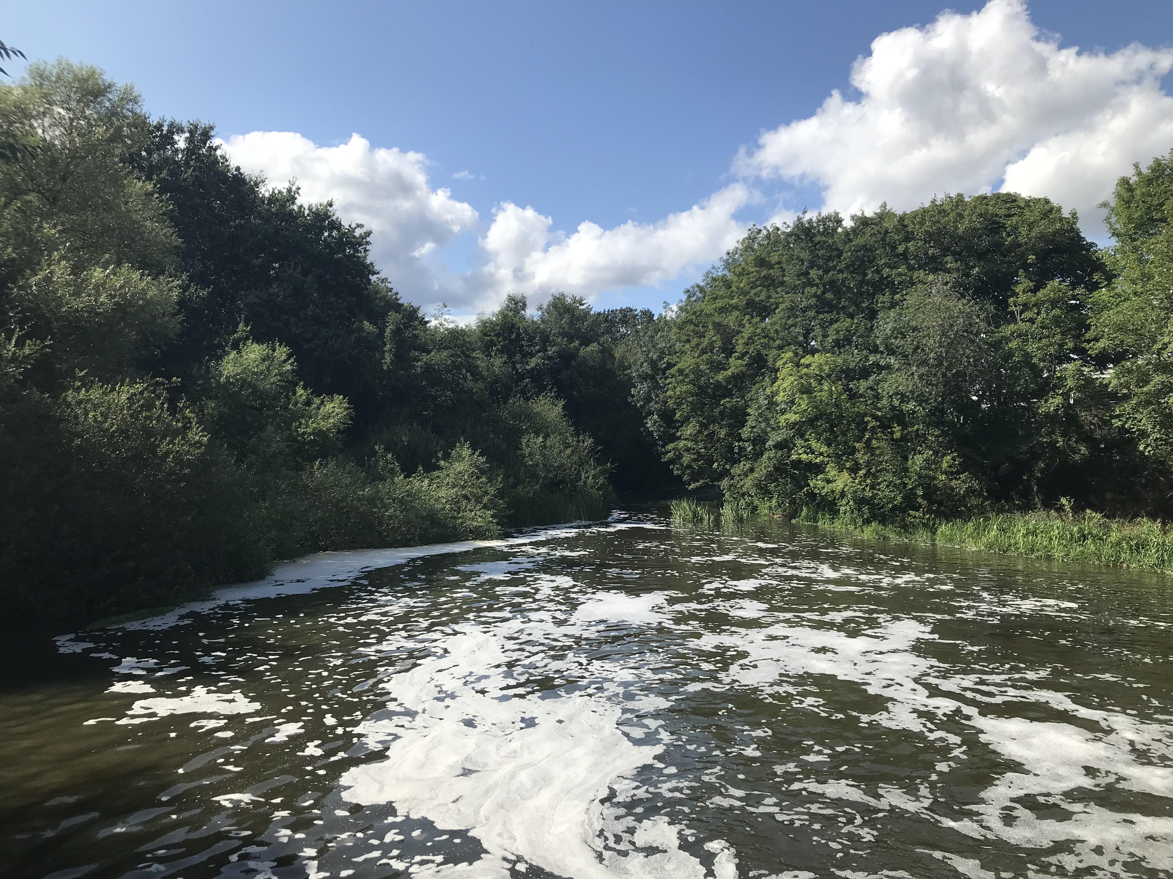
A short walk past the Royal Mills and along the River Ember and Mole will bring you to Molesey Heath, great for a Sunday stroll or walking the dog.
The Big Smoke Brew Co, Lower Green Esher

The Lower Green local, it’s an alternative drinking experience which consists of a tap room in the brewery. It’s open weekends in the heart of the community! Come down for a beer.


The Expansion of Douglas Road, Lower Green Esher

In the Coronation Souvenir published by Esher Chamber of Commerce there is a photograph of the then new constructed EDC houses on the expanded part of Douglas Road.
Back then there were a lot less cars on the road.

The Old Cottage, Grove Farm, Arran Way, Lower Green Esher

Tucked away in the heart of Lower Green is a Grade II Historic England listed building, it is a two story timber framed cottage, this building is in need of urgent restoration. It is owned by Surrey Country Council and our community deserves this treasure restored and cherished.
Richard Williams has a detailed article on the building which can be read on the Esher Residents website.
There is also a detailed description of the building on the Exploring Surreys Past website stating that the history goes back to 1005, when it was known as “Bulanweorthe” and later ” Buleworth”. The building has also been known as “Wicker’s”, “Standers farm” and “The Grove”.
The Surrey Archaeological Society have also documented the excavation of the land near by, to the east.
Photo: Richard Williams, Esher Residents Association
Modern map of Lower Green Esher

Here you will find the latest version of our community map, please let us know if there are any mistakes or if we have missed something.
Political Satire at Sandown, Lower Green Esher

In this 1886 Tom Merry illustration Lord Salisbury is shown emerging from the shadows of Gladstone’s government, this politic satire was printed in the ‘St Stevens Review’. This art work is stored in the British Library.
Royal Mills, Lower Green Esher

This photo from The Mills Archive Collection shows the mill in full splendid before the fire of 1908.
John Cobb, Lower Green Esher

John Cobb, the world record land speed holder, lived on Arran Way, the remains of the property were found during an excavation of the area by Tom Munnery, an archaeologist working for the Surrey County Archaeological Unit . Cobb Green is located at the end of Arran Way, very close to The Old Cottage, and is probably a homage to the record breaker.

The Angel Inn, Thames Ditton

For a slighter further pub walk you can find the Angel Inn, you can walk most of the way through Thames Ditton & Esher Golf Club, then the green to the west of the A307 and finally Giggs Hill Green.
